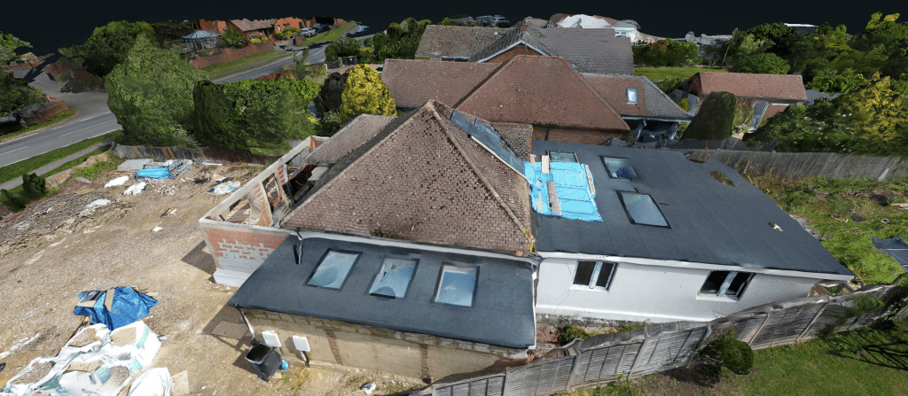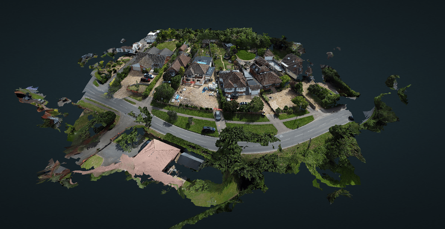
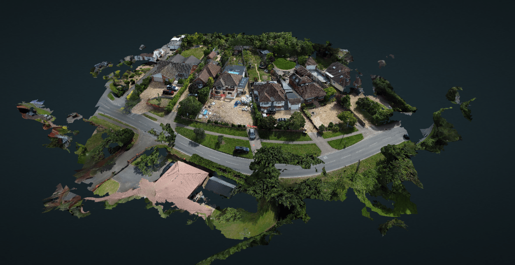
We recently completed a drone mapping project for a residential property in Bedfordshire, creating an interactive 3D model and detailed aerial mapping to support future planning and development work.
Using our professional drone mapping workflow, we captured hundreds of overlapping aerial photographs before processing them into a high quality digital model. The finished project provided the client with a complete interactive representation of their property, accessible from any web browser.
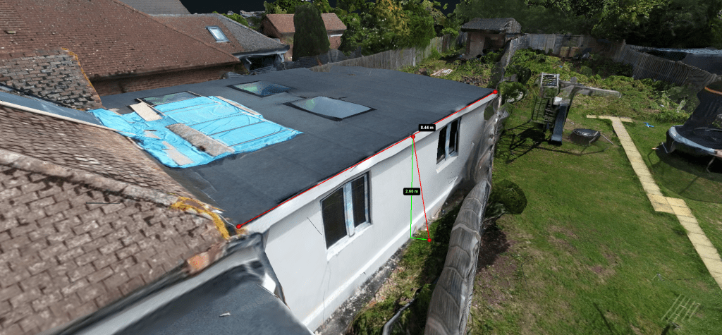
The model allows the property to be viewed from virtually any angle while also providing built-in tools for measuring distances, areas and roof pitches. Alongside the interactive model, we also produced a high resolution orthomosaic aerial map and a colour-coded surface model, giving the client a comprehensive digital record of the site.
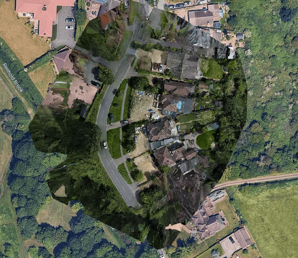
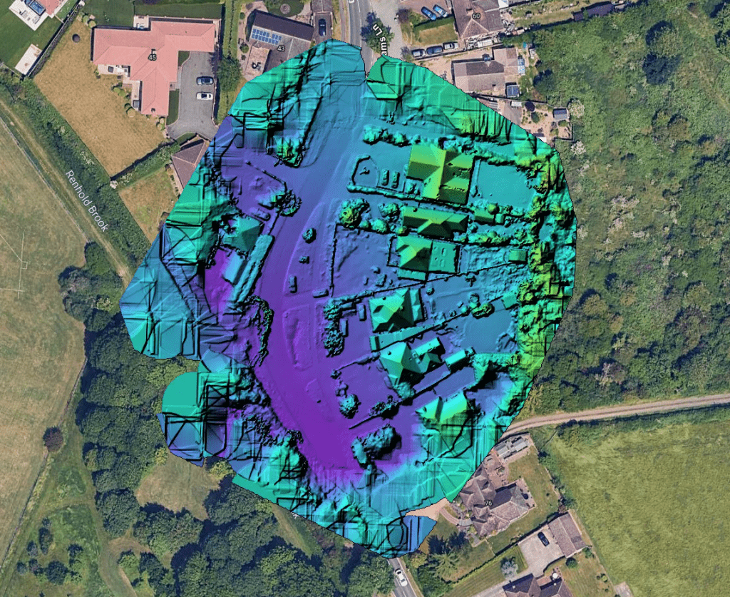
These outputs can be invaluable during the early stages of planning applications, home extensions and renovation projects, allowing homeowners, architects and builders to better understand the property without repeated site visits. The online model can also be securely shared with everyone involved in the project, improving collaboration and reducing the need for additional surveys.
At Wigram Drones, our drone mapping service is ideal for residential and commercial properties, construction sites and development projects throughout Bedfordshire and the surrounding areas. Whether you require an interactive 3D model for planning, site documentation, roof analysis or construction progress monitoring, we can provide detailed digital mapping tailored to your requirements.
If you’re considering an extension, renovation or development project and would like to learn more about our drone mapping services, we’d be delighted to discuss your project and provide a free quotation.